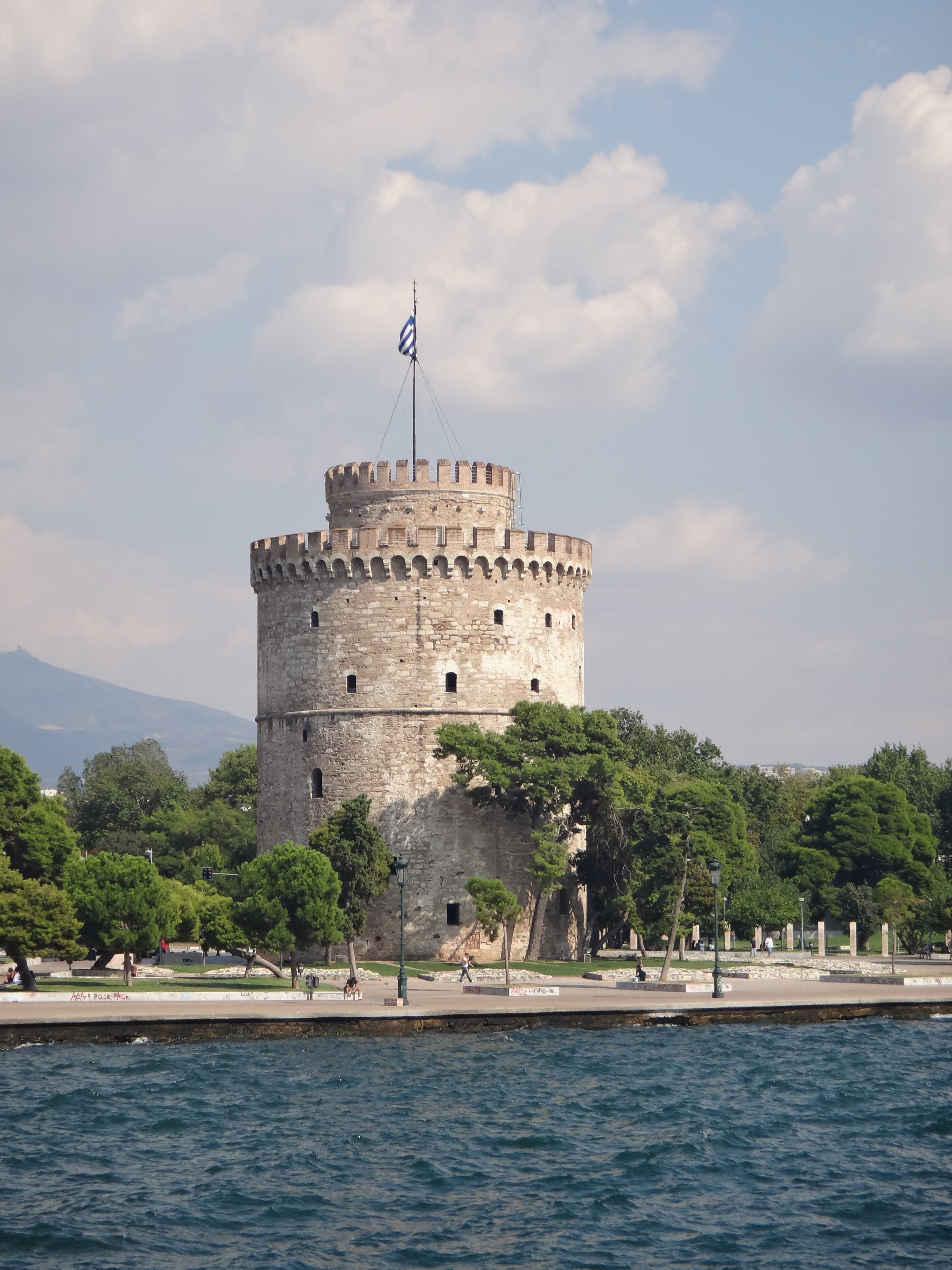
hessaloniki is located in the western part of the regional unit of Thessaloniki, in the cove of Thermaikos Gulf. It is built amphitheatrically on the slopes of cedar hill and surrounded on the east by the forest of Sheikh Sou. Sindos is the city's industrial zone and the south are areas of an aerodrome, Therme and southeast area of Panorama.
Southeast of the city rises Mount Chortiatis, natural fortification and source of the water used for the water supply. Northwest lies the plain of Thessaloniki, complementing Thessaloniki needs water. North of the town rises the term Sivris separated from Hortiatis over Derveni. The plain has favored the economic development of the city and surrounding area, as gradually formed by the silting of rivers flowing through the area so it is very fertile.
These three rivers, Axios, Loudias and French, flowing west of the city and further south Aliakmon flows. The rivers were natural and water barriers in the city outreach efforts from the south; the passage of the French River from the Greek troops in 1912, finalized the unconditional surrender of the Ottomans. The Axios Delta is a wetland of 22,000 acres of particular importance, protected by the Ramsar Convention.
The city's position in the wider Macedonia-Thrace, the existence of the harbor as a natural gateway to this region of the sea and the natural fortifications make Thessaloniki both important strategic point, other commercial, transport and cultural crossroads since antiquity to and current years